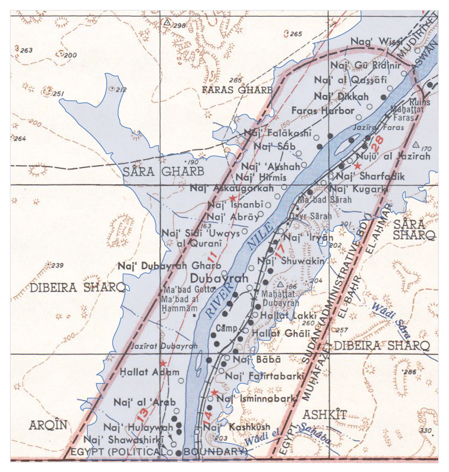
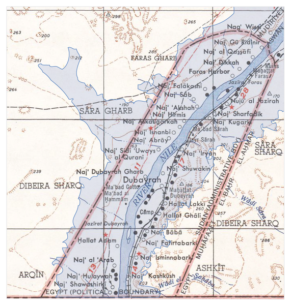
ملف:Map of the flooding areas of the Lake Nasser in the Wadi Halfa Salient.png
حجم هذه المعاينة: 571 × 600 بكسل. البعد الآخر: 909 × 955 بكسل.
الملف الأصلي (909 × 955 بكسل حجم الملف: 1٫25 ميجابايت، نوع MIME: image/png)
تاريخ الملف
اضغط على زمن/تاريخ لرؤية الملف كما بدا في هذا الزمن.
| زمن/تاريخ | صورة مصغرة | الأبعاد | مستخدم | تعليق | |
|---|---|---|---|---|---|
| حالي | 23:32، 1 مارس 2013 | | 909 × 955 (1٫25 ميجابايت) | Shafei (نقاش | مساهمات) |
لا يمكنك استبدال هذا الملف.
وصلات
الصفحات التالية تحتوي على وصلة لهذه الصورة: